


Does RTK Require a Base Station?
Does RTK Require a Base Station?
Real-Time Kinematic (RTK) positioning technology is widely used in high-precision applications such as surveying, agriculture, autonomous driving, and drone navigation. Its core advantage lies in correcting satellite signal errors in real time, achieving centimeter-level positioning accuracy. However, whether a local base station is required depends on the specific use case and available resources.
Is a Base Station Essential for RTK?
Traditionally, RTK systems rely on a local base station at a known location. The base station receives satellite signals and generates correction data, which is transmitted in real time to the mobile receiver (rover) via radio, LoRa, or the internet, improving positioning accuracy.
However, in some scenarios, users do not need to build their own base stations. For example, users can subscribe to Virtual Reference Station (VRS) networks or Continuously Operating Reference Station (CORS) services. These services provide real-time correction data over the internet, which users can access via the NTRIP protocol.
Feasibility and Cost Considerations for Building an RTK Base Station
For users who require long-term high-precision positioning in specific areas, such as agricultural machinery, drone operations, or construction sites, setting up a local Rtk Base Station can be more cost-effective. For instance, users can deploy RTK-enabled FM1000 displays or EZ-500 devices on elevated sites, equipped with solar panels and battery packs for independent power and data transmission.
Some companies also offer complete RTK base station kits, suitable for remote areas or scenarios where full autonomous control is needed.
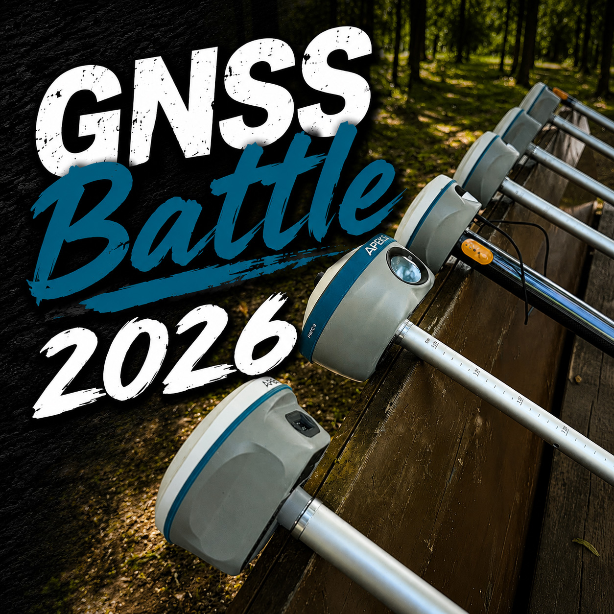
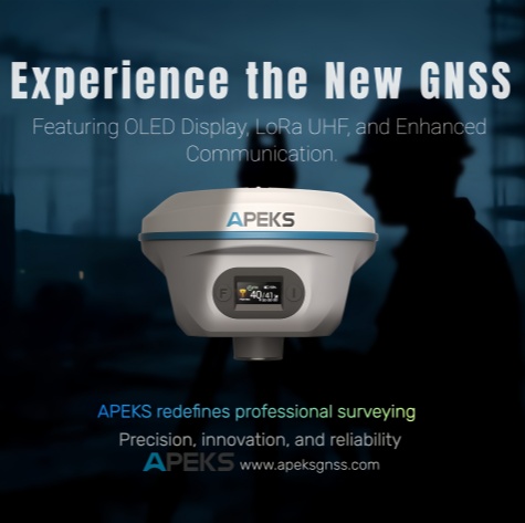
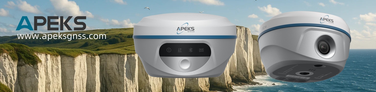
APEK GNSS: Three RTK Receivers Supporting Both Base and Rover Modes
APEK GNSS offers three Rtk Receivers that support both base station and rover modes, catering to different precision and application needs:
-
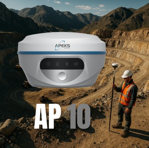
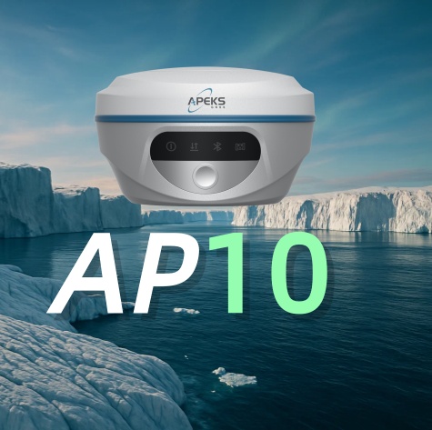
AP10 Gnss Receiver: A cost-effective RTK receiver suitable for surveying and staking tasks, supporting both base and rover modes.
-
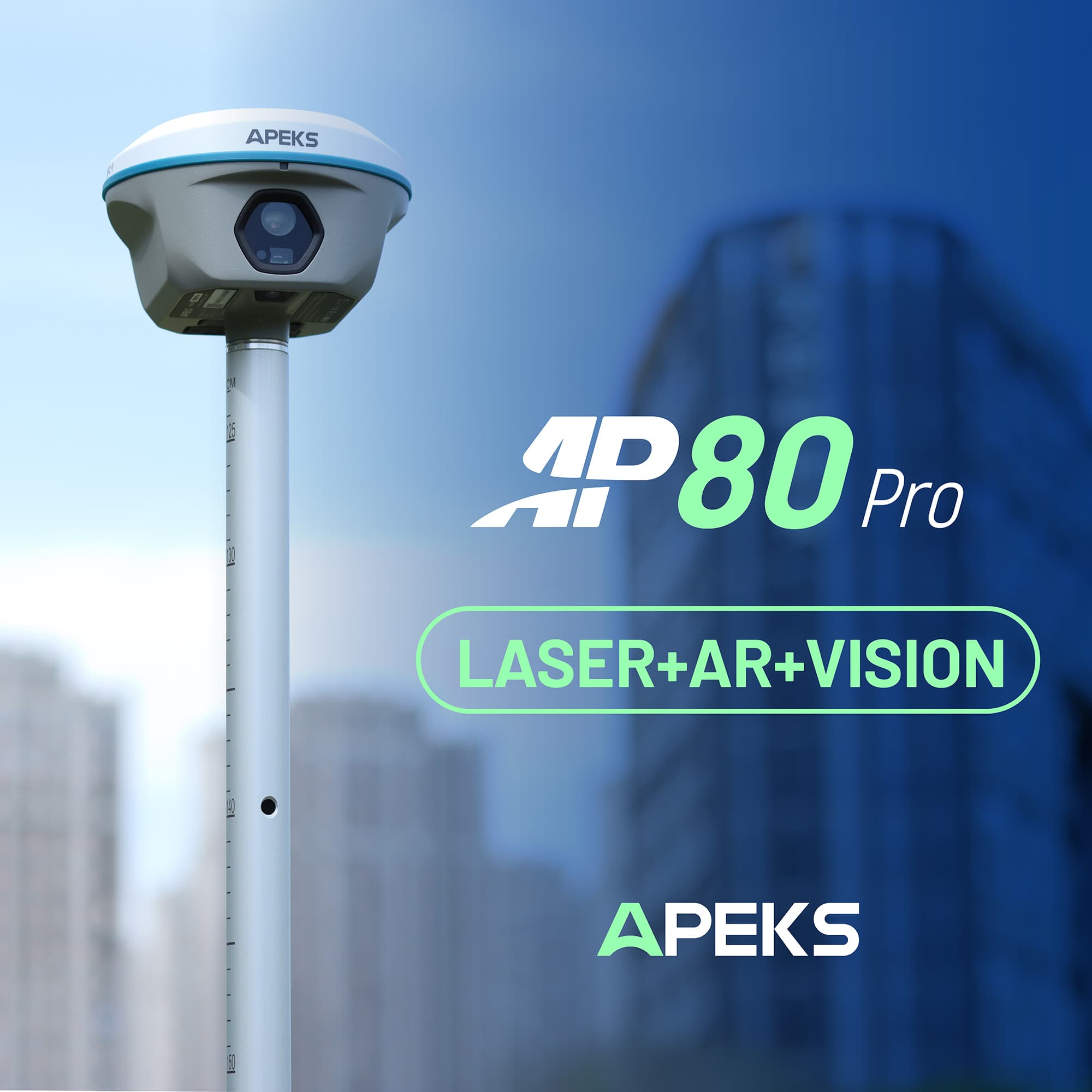
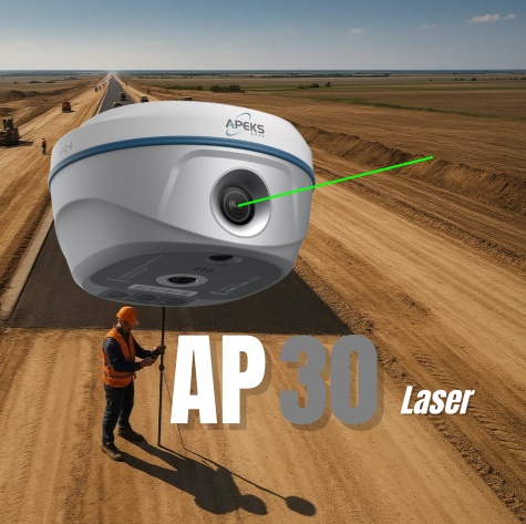
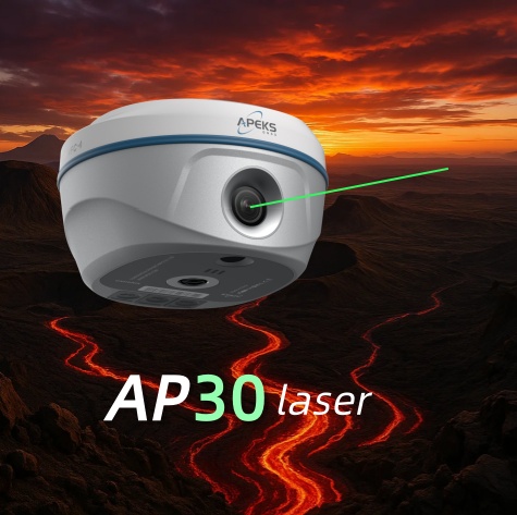
AP30 Laser Dual-Camera RTK Receiver: Integrates advanced GNSS, high-performance IMU, and millimeter-level green laser technology, ideal for high-precision tasks in complex environments.
-
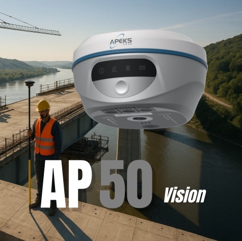
AP50 Visual IMU-RTK Receiver: Combines advanced GNSS, IMU, and dual-camera technology for high-precision surveying and navigation tasks.
All three receivers support both base and rover modes, allowing users to choose the appropriate mode according to their specific positioning tasks.
Choosing the Right RTK Solution
| Scenario | Recommended Solution |
|---|---|
| No internet access | Build a local RTK base station |
| High-precision positioning needed | Subscribe to VRS or CORS services |
| Limited budget | Use PPK (Post-Processed Kinematic) |
| Full autonomous control needed | Build a local base station or use a standalone kit |
Conclusion
RTK positioning systems can be implemented in various ways. Users can choose the solution that best fits their needs, budget, and technical capabilities. Whether building a local base station, subscribing to network services, or using post-processing techniques, high-precision positioning can be achieved. The key is to evaluate the project requirements carefully and select the most suitable technology path.